The Interspect Ltd. primarily produces aerial ortho image maps by RGB, MS or HS remote sensing and develops airborne instruments.
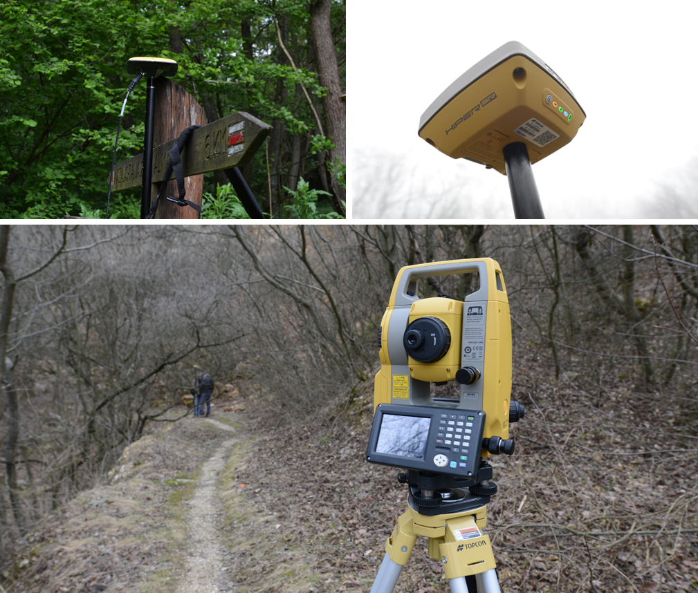
Geodetic surveys for GCP and controll point measurements

The Interspect Ltd. primarily produces aerial ortho image maps by RGB, MS or HS remote sensing and develops airborne instruments.